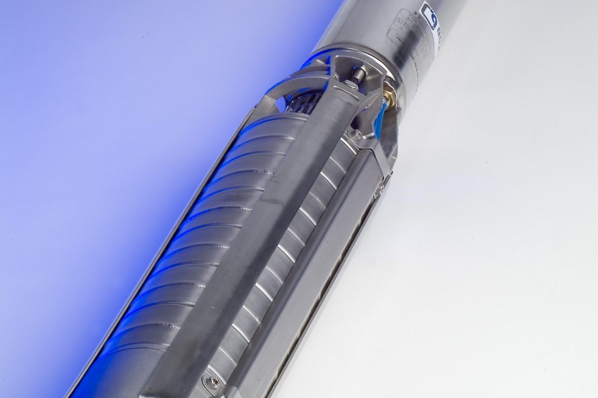
Hydro-geological Survey
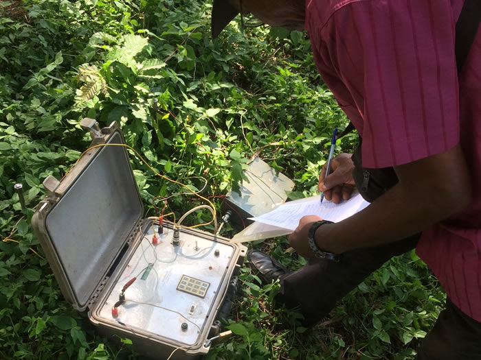
A hydro-geological survey is an investigation of the hydro-logic and geologic parameters at the subsurface level in a particular area. Hydro-geological maps may be formulated with the data gathered during such a study. It involves the detailed evaluation of the water-bearing levels of rocks and their capability for filtration. Moreover, the intrinsic ability of these rocks to either store or resist water is also assessed. The pressure, type and quality of the underground water is noted, delving into the intensity of the water flow through pores or fractures. Find some meanings of the common terms used in geology in Glossary.
Glossary
A. Aquifer: A subsurface rock or sediment unit that is porous and permeable and contains water. In an aquifer these characteristics are highly developed: useful quantities of water are stored and transmitted
TYPES OF GEOLOGICAL FORMATION
A) Perched aquifers
A perched aquifer is normally limited in size and lies on an impervious layer higher than the area’s general water table.
B) Shallow unconfined aquifers
The term ‘unconfined’ refers to an aquifer within which the water is open to atmospheric pressure: the so called piezometric surface (pressure head level) is the same as the static water level (SWL) in the borehole.
C) Confined aquifers
A ‘confined’ aquifer may hold groundwater under greater pressure, so that when punctured by a borehole, the SWL rises to the higher piezometric level. If the piezometric surface happens to be above ground level (which is not common), water will flow out of the borehole by itself: this is known as ‘artesian water.’
D) Fracture zone
Fracture zones develop during geological times as a result of the severe mechanical stress, caused by tectonic movements, that is exerted on non-plastic formations.
- E) Hydro-geological basement
In this situation, it is a waste of time and money to extend a deep borehole into the metamorphic basement, which is generally known as the ‘hydro-geological basement’ or ‘bedrock.’ The bedrock marks the level below which groundwater is not likely to be found.
The Importance of Hydro-geological Surveying
A hydro-geological survey is done to determine the underground water level. Hydro-geological surveying is conducted prior to drilling a borewell in order to ascertain the quality and quantity of water available at a particular location. It has been well established that underground water is a better source of drinking water than surface water. This is due to the following reasons:
- Lower chances of pollution, especially if it is at least twenty meters away from the sanitary work.
- Water becomes naturally purified as it flows through sand and stone.
- Borewells remain shut and therefore have a reduced chance of contamination.
- Water temperature at the underground level is always at desirable levels in spite of seasonal changes.
- Greater chances of water availability in summer as the water sources are situated at a deeper level. Typically, the hydro-geological assessment may be basic or complete. A basic survey comprises of the following:
- Establish the needs of the end-user regarding the location and quantity of groundwater required
- Nearby boreholes
- Evaluation of the quality of groundwater
- Appraisal of the catchment area
- Borehole construction and design recommendations
- Assessment of risk to health or environment
- The amount of groundwater that is anticipated from the given location
A full hydro-geological assessment consists of a few additional features such as determining the availability of aquifers risk assessment of the catchment and analysis of the water source especially for possible pathways of contamination. The hydraulic properties of the aquifers, the direction of flow of groundwater and the rate of flow are also verified.